|
| *****SWAAG_ID***** | 623 |
| Date Entered | 22/10/2012 |
| Updated on | 28/10/2012 |
| Recorded by | Tim Laurie |
| Category | Burnt Mound |
| Record Type | Archaeology |
| Site Access | Private |
| Record Date | 01/01/2005 |
| Location | Askrigg Pasture |
| Civil Parish | Askrigg |
| Brit. National Grid | SD 93628 92539 |
| Altitude | 391m |
| Geology | Spring stream on drift over the Middle Limestone. |
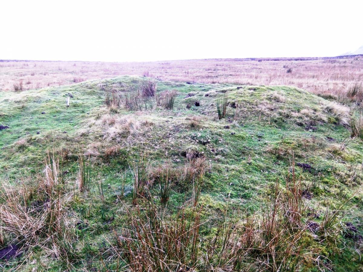
| Record Name | Askrigg Pasture. Burnt Mound Site 4. |
| Record Description | Very large but low burnt mound with much visible burnt stone and visible charcoal. Probably robbed of stone for BM Site 3 which is located in marsh to the east of the modern dry stone wall and further downstream on the same stream some 150m to the east. |
| Dimensions | 12m * 10m 8 .75m high |
| Additional Notes | This large but low burnt mound, is located in rushy pasture and is 14m diameter and .75m high approximately. This site is the fourth of an open cluster of four burnt mounds situated in Askrigg Pastures above and below the western end of High Straights Lane. |
| Image 1 ID | 3490 Click image to enlarge |
| Image 1 Description | ASkrigg Pasture BM Site 4 | 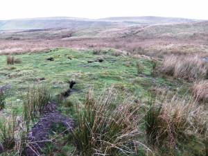 |
| Image 2 ID | 3491 Click image to enlarge |
| Image 2 Description | | 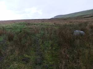 |
| Image 3 ID | 3492 Click image to enlarge |
| Image 3 Description | | 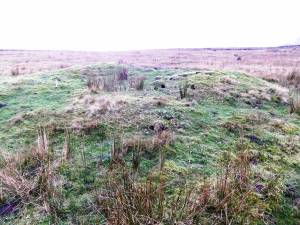 |
| Image 4 ID | 3493 Click image to enlarge |
| Image 4 Description | | 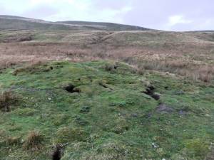 |
| Image 5 ID | 3494 Click image to enlarge |
| Image 5 Description | | 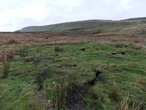 |